Colleagues
Colleagues of The Solstice Project include:
Richard Friedman
Richard Friedman combines diverse skillsets in geology, remote sensing, archaeology, and new digital technologies to study the Chaco world. He worked with the Navajo Nation Chaco Sites Protection Program to document countless Great Houses and roads throughout the Four Corners region. Friedman is also a remote sensing expert who has studied Chaco roads for over 30 years using a variety of techniques including low sun angle aerial photography, thermal infrared multispectral imaging (TIMS), and most recently, Light Detection and Ranging (LiDAR) and Structure from Motion (SfM) photogrammetry. He has published articles on Chaco roads (Friedman, Sofaer, and Weiner 2017), the Newcomb field system (Friedman, Stein, and Blackhorse 2003), the built environment of downtown Chaco (Stein, Friedman, Blackhorse, and Loose 2007), and Chaco’s minimal agricultural productivity (Benson, Stein, Taylor, Friedman, and Windes 2006). Friedman appears in the 1999 Solstice Project documentary The Mystery of Chaco Canyon.
Adriel Heisey
Adriel Heisey is a renowned aerial photographer and professional pilot who has meticulously documented Chaco sites and roads throughout the Southwest for two decades. During these years of documentation, Heisey has gained a unique perspective on the expanse of the Chaco world, the replication of architectural patterns among outlier Great Houses, the enigmatic character of Chaco roads, and use of special topographic features. His photos and videos are featured in the 1999 Solstice Project documentary The Mystery of Chaco Canyon, our recent fracking alert, and numerous research papers. Heisey himself also appears in The Mystery of Chaco Canyon. He has published three books of aerial images and currently flies for the Navajo Nation, transporting government officials around the Four Corners region.
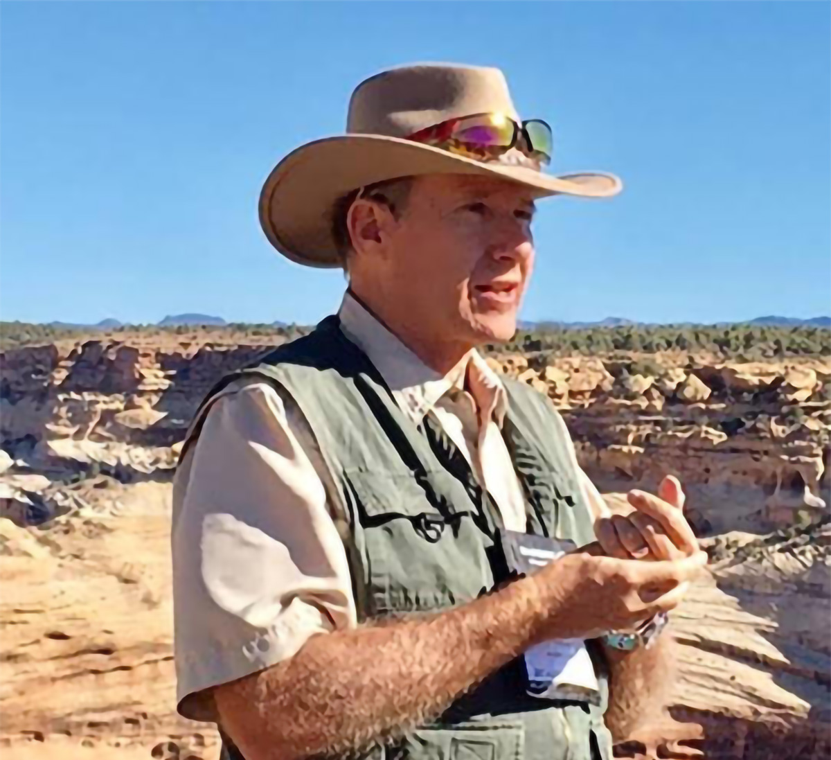
Mike Marshall
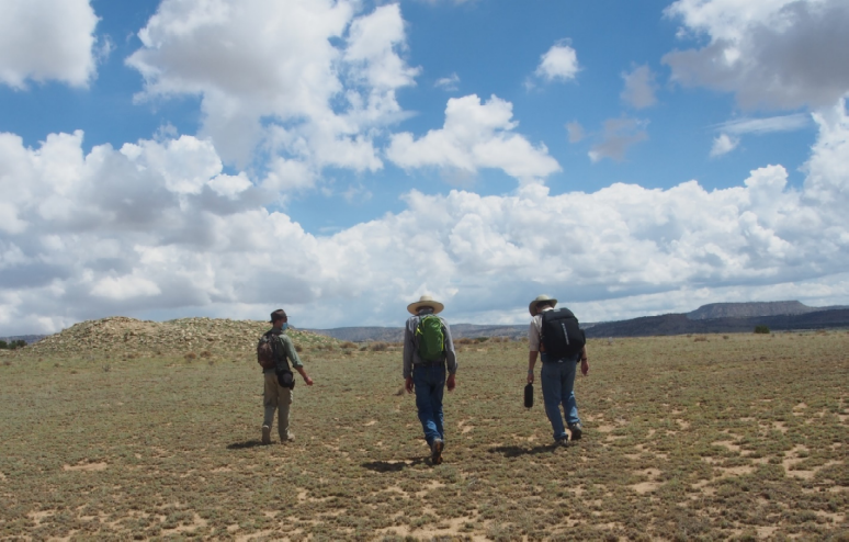
Mike Marshall led a pioneering survey during the 1970s that revealed the extent of Chaco Great Houses, roads, and earthworks throughout the San Juan Basin (Marshall, Stein, Loose, and Novotny 1979). During a flight in the 1980s, Mike Marshall and Anna Sofaer discovered the Red Willow Great House. They then conducted survey of special use high sites, the Great North Road, terraces, Great Houses, and other features throughout the Chaco region in the mid-1980s (Marshall and Sofaer 1988). Marshall and Sofaer published together on the Great North Road and its articulation with the badlands topography of Kutz Canyon as a “cosmographic expression” (Sofaer, Marshall, and Sinclair 1989). He has also written on how other Chaco roads connect with special landscape features such as buttes, springs, caves, and pinnacles (Marshall 1997). Marshall appears in the 1999 Solstice Project documentary The Mystery of Chaco Canyon. He currently runs Cibola Research Consultants, a cultural resource management firm in Corrales, New Mexico.
John Roney
John Roney was a key member of the Bureau of Land Management Chaco roads studies in the 1980s (Nials, Stein, and Roney 1987). Roney’s 1992 seminal paper revealed that most Chaco roads were short, spoke-like segments rather than continuous corridors for trade and transportation (Roney 1992). This research was fundamental in establishing Chaco roads as ideological expressions rather than functional infrastructure. He has collaborated with Anna Sofaer on efforts to protect the Greater Chaco Landscape, co-authoring the Urgent Proposal to Protect Chaco Roads that was supported by the Society for American Archaeology. Roney appears in our recent fracking alert. He currently runs Colinas Cultural Resource Consulting, a cultural resource management firm in Albuquerque, New Mexico.
William Stone
William Stone is the Southwest Region Geodetic Advisor for NOAA’s National Geodetic Survey. He assisted in the precise surveys of the major Chaco buildings by the National Geodetic Survey from 1984–1997. He also collected precise locational data for prehistoric shrine sites in Chaco on behalf of the Solstice Project. Recently, he co-authored with Anna Sofaer and Robert Weiner on inter-site alignments to the major lunar standstill between these sites (Sofaer, Weiner, and Stone 2017). Stone is also a noted photographer. He appears in the 1999 Solstice Project documentary The Mystery of Chaco Canyon.
Phillip Tuwaletstiwa
Phillip Tuwaletstiwa, member of the Hopi Tribe and former Deputy Director of the NOAA’s National Geodetic Survey, initiated the Solstice Project’s precise surveys of the major Chaco buildings with the National Geodetic Survey from 1984–1997. In recent interviews, he has provided key insights to the importance of astronomy, Mesoamerican influences, and Chaco roads. Recently, he and archaeologist Mike Marshall have been investigating the West Alignment, a series of Chaco sites spanning the Basketmaker III – Pueblo III periods that may represent an alignment to the minor lunar standstill. Tuwaletstiwa appears in the 1999 Solstice Project documentary The Mystery of Chaco Canyon and our recent fracking alert.
Robert Weiner
Robert Weiner is a Research Associate with the Solstice Project and Research Affiliate with Brown University’s Haffenreffer Museum of Anthropology. For his MA thesis, he documented 500 gaming pieces from Chaco sites and explored the role of gambling in the Chaco culture as described in Native oral histories (Weiner 2015; 2018). Weiner’s other research has examined Mesoamerican exotica (Weiner 2015), pilgrimage at Chaco, lunar inter-site alignments (Sofaer, Weiner, and Stone 2017), and Chaco roads (Friedman, Sofaer, and Weiner 2017). He has conducted archaeological surveys and excavations in New Mexico, Arizona, Utah, Rhode Island, and Turkey, with new fieldwork on Chaco roads in planning stages.